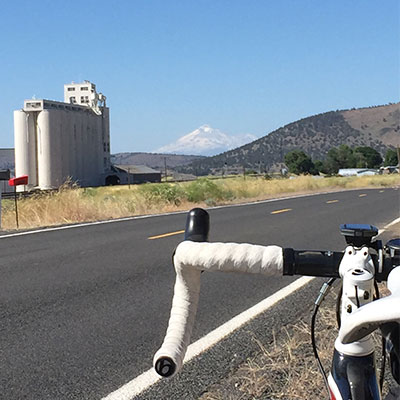
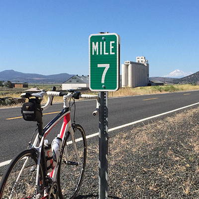
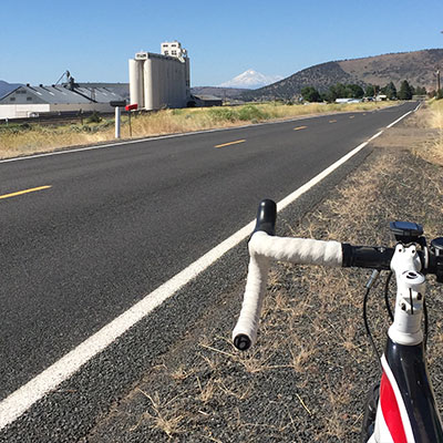
This flat route is great for a routine ride. This ride loops through farm roads that offer panoramic views of the Klamath Basin, featuring Mount Shasta on a clear day. Starting and ending in Keno is a great way to mitigate some of the headwinds as you will start into the wind and end with a tail wind. Without any climbs to speak of, this ride is considered easy on a calm day. Strong headwinds can make this ride more difficult as can the distance for some.
- [email protected]
- 800-445-6728
Keno Worden Loop


Click on the route in the map to print a map and cue sheet.
More Trip Ideas
Your Guide to Summer Events Around Klamath County
Summer is fast approaching, and with it come some of Klamath County’s most popular annual events. This summer is no different, with a lineup that includes car shows, music festivals, community fairs, historical events, and more. So as you make plans to visit Klamath County this summer, here are a few fun ideas for making the most of your time. June Events in Klamath County Third Thursday: Experience the best of downtown Klamath Falls with the Third Thursday block party, taking place on (surprise!) the
6 THINGS TO DO IN KLAMATH FALLS DURING WINTER
Klamath Falls is a wonderful playground for numerous outdoor adventures – such as Upper Klamath Lake – as well as being a truly scenic location. If you’re choosing to visit this superb location in the winter, you may be wondering what the best things to do in Klamath Falls in winter are. To help you narrow down your search and be prepared for fun in the snow, consider doing one of these 6 things to do in Klamath Falls in winter. With these helpful ideas,
What are the People Like in Klamath Falls?
The People Living in Klamath Falls In 1843 the westward migration on the Oregon Trail was reaching a climax, which presented the beginning of settlement in the Klamath Falls area. In 1867 George Nurse founded a town at the mouth of the Link River – a 1.5-mile finger that cuts through the mountainous terrain to connect two bodies of water: Upper Klamath Lake (with a surface area of 96 square miles) and Lake Ewauna. In 1905 the federal government announced it would fund construction of


